We live in the golden age of digital navigation. With a flick of a thumb on your smartphone or a glance at your GPS watch, you can see exactly where you are on a high-resolution map of the Snowdonia massif or the Cairngorms. But as any experienced traveller in the British Isles will tell you: batteries die, screens shatter, and GPS signals have a habit of vanishing just as the “Scotch Mist” rolls in.
There is a profound sense of empowerment that comes with being able to navigate the old-fashioned way. It is the difference between being a passive follower of a blue dot and being an active reader of the landscape. In 2026, as more people head into the “wilder” parts of the UK, the “silver-and-paper” method is making a major comeback.
Whether you’re a beginner looking to build confidence or a “digital native” wanting a backup plan, here is your essential guide to mastering the compass and the map.
The Anatomy of Navigation: Your Essential Tools
Before we dive into the “how-to,” let’s look at your two primary instruments.
1. The Ordnance Survey (OS) Map
In the UK, we are blessed with the best mapping in the world. For hikers, the OS Landranger (1:50,000) is good for long distances, but the OS Explorer (1:25,000) is the gold standard, showing every wall, fence, and tiny stream.
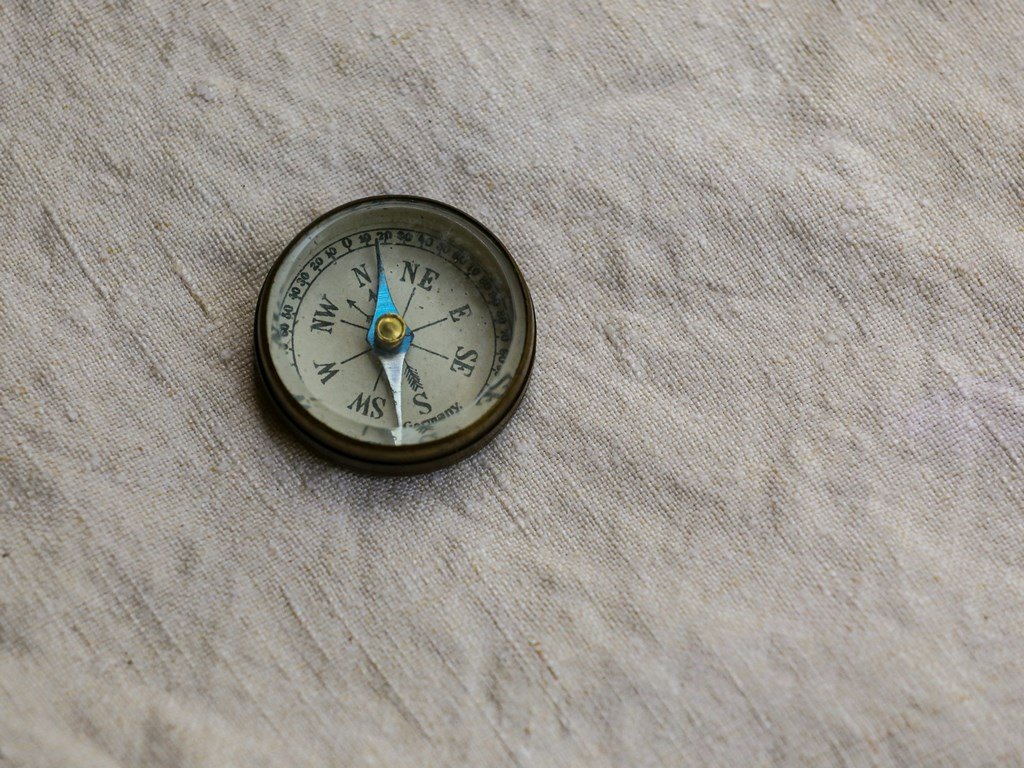
2. The Baseplate Compass
While there are many types, the “Silva” style baseplate compass is the hiker’s best friend. It consists of:
The Baseplate: The clear plastic plate with a ruler.
The Compass Housing: The rotating dial.
The Needle: The red end always points to Magnetic North.
Orienting Lines: The lines inside the housing that you align with the map’s grid lines.
Step-by-Step: Taking a Bearing
Taking a bearing is simply “measuring the angle” between where you are and where you want to go.
Align the Edge: Place the long edge of your compass baseplate on the map, connecting Point A (where you are) to Point B (where you’re going). Ensure the “Direction of Travel” arrow is pointing toward your destination.
Twist the Dial: While holding the baseplate still, rotate the compass housing until the orienting lines inside the dial are parallel with the vertical grid lines on the map. Make sure the “North” arrow on the dial is pointing to the top of the map.
The “Mag to Grid” Adjustment: In the UK, there is a slight difference between Grid North (on the map) and Magnetic North (where your needle points). In 2026, this “Magnetic Variation” is very small in Britain, but you should still check the map’s legend. (Remember: Grid to Mag, Add; Mag to Grid, Get Rid).
Follow the Needle: Take the compass off the map. Hold it flat in front of you. Turn your whole body until the red end of the needle sits perfectly inside the “red shed” (the painted arrow on the dial). Now, the “Direction of Travel” arrow on the baseplate is pointing exactly where you need to go.
Comparison: Digital GPS vs. Map & Compass
| Feature | GPS / Smartphone Apps | Traditional Map & Compass |
| Reliability | Vulnerable (Battery/Signal) | Infinite (No power required) |
| Precision | High (cm accuracy) | Moderate (Human error possible) |
| Durability | Fragile (Screens/Water) | High (Laminated maps are tough) |
| Context | Limited “tunnel vision” screen | Wide-scale situational awareness |
| Skill Required | Low (Intuitive) | Moderate (Requires practice) |
3 “Pro” Skills for the British Trails
Thumb the Map: As you walk, keep your thumb on your current location on the map. Every time you stop to check, your eye will go straight to the right spot, saving time and mental energy.
Handrailing: Don’t just follow a bearing blindly. Use “handrails”—linear features like a stone wall, a river, or a forest edge—to guide you toward your destination.
Catching Features: Identify a feature beyond your destination (like a road or a specific ridge). If you hit it, you know you’ve gone too far.
Why “Analog” Makes You a Better Hiker
Using a map forces you to look at the world differently. You start to notice the spacing of contour lines (steepness), the orientation of the sun, and the way the wind hits the ridges. It turns a “walk” into an “exploration.” It fosters a deeper connection with the geography of the UK that a digital screen simply cannot provide.
FAQ: Master the Map
1. Which OS Map scale should I buy for hiking?
For most hiking in the UK, the 1:25,000 (Orange cover) is best. It shows enough detail that you can navigate by “field boundaries”—essential in places like the Cotswolds or the Dales.
2. Does my compass work near metal objects?
No. Be careful! Using a compass near a mobile phone, a rucksack with a metal frame, or even a wire fence can “deflect” the needle (known as local magnetic attraction), leading you miles off course.
3. What is “Magnetic Variation” in the UK right now?
In 2026, the variation across most of the UK is very small—often less than 1 or 2 degrees. For short distances, many hikers find they can ignore it, but in “white-out” conditions in the mountains, every degree counts.
4. Can I use a map and compass in the dark?
Yes, but it’s difficult. Most good compasses have “luminous” markings. However, navigating at night is an advanced skill that requires excellent “pacing” and “timing” (calculating distance by how many steps you take).
5. Is a compass needle ever “wrong”?
The needle always points to Magnetic North. It is never “wrong,” but the user can be! The most common mistake is holding the compass backwards (pointing the “Direction of Travel” arrow toward yourself).